QUEZON CITY (PIA) -- The Philippine Space Agency (PhilSA) has started the pre-implementation of a new project designed to capacitate and enable various sectors to sustainably access and use space data according to their needs.
PINAS, which stands for PhilSA Integrated Network for Space-Enabled Actions towards Sustainability, will be implemented by the PhilSA Space Information Infrastructure Bureau (SIIB). It envisions a community empowered through space data mobilization wherein the full value chain of space data will be utilized.
“PINAS will be an active community of national government agencies, local government units, research institutions, the civil society, and the private sector, working collaboratively on the socially-responsive use of space data and information," SIIB Director Dr. Ariel C. Blanco explained.
The PINAS project will have three phases: network building, capacity building, and buildup and expansion. The SIIB has initiated the network building phase, beginning with the Province of Iloilo.
The country’s third Ground Receiving Station (GRS), operated and maintained by the Department of Science and Technology-Advanced Science and Technology Institute (DOST-ASTI) in Dumangas, Iloilo.
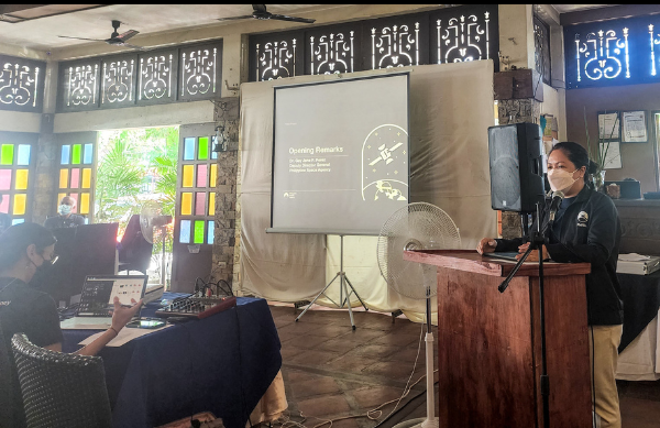
PhilSA Deputy Director General Dr. Gay Jane P. Perez delivering the opening remarks. (PhilSA photo)
The pre-implementation workshop of the PINAS Project benefited those involved in agriculture, disaster risk reduction management (DRRM), urban and rural planning, and environment monitoring and natural resources management–sectors, where space data would be valuable for data-based policymaking.
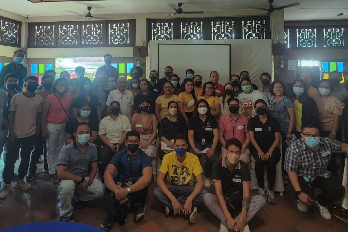
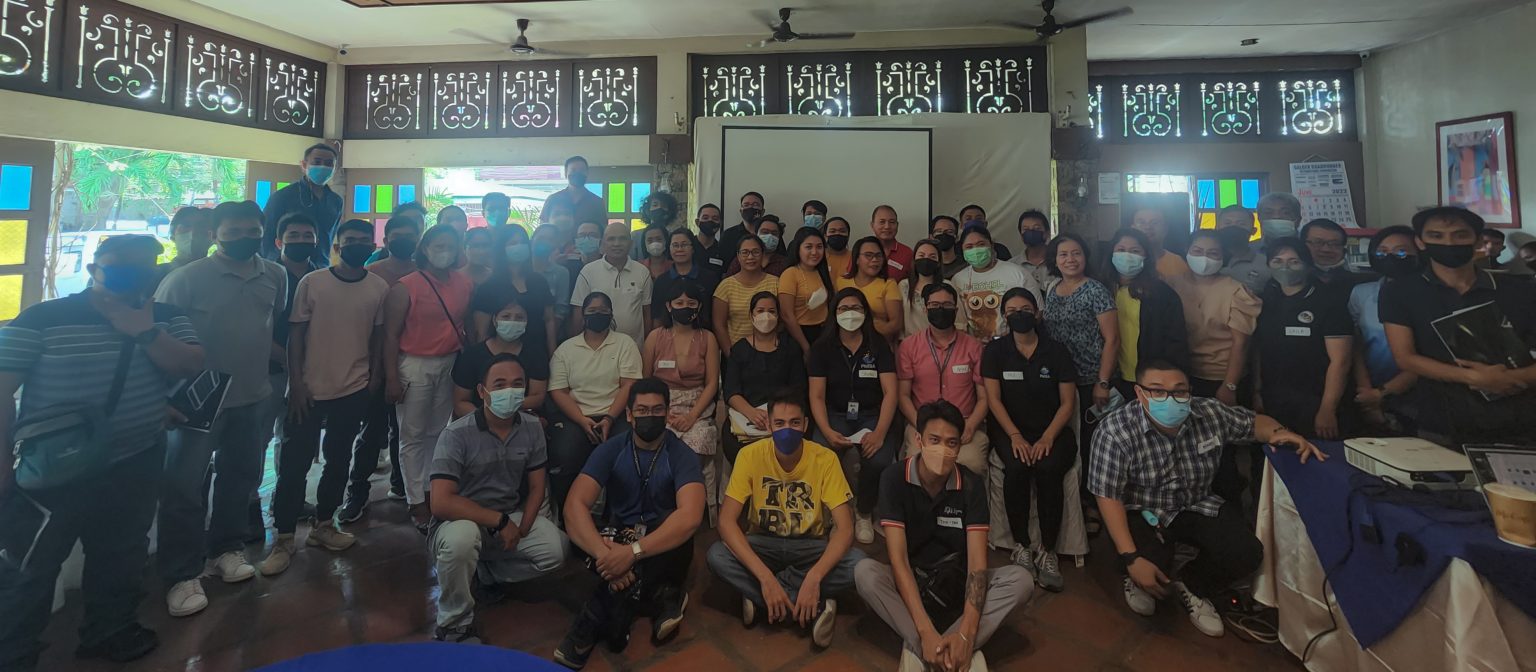
The event, held at the Esca’s Garden, Iloilo City, was attended by over 100 representatives from the province’s LGUs, regional government agencies, and non-government organizations recently.
In her opening remarks, PhilSA Deputy Director General Dr. Gay Jane Perez emphasized the importance of space data obtained through satellites for planning, monitoring, and local policymaking. She underscored that collaboration with LGUs as direct users of satellite data would further strengthen on-ground efforts.
During the workshop, Mr. Alan Moscoso, a researcher from the University of the Philippines Visayas (UPV), highlighted how space science and technology applications are utilized by UPV to detect changes in the environment. An example of this is detecting topographical changes in the UPV Miagao Campus by studying enhanced vegetation index through time.
From Iloilo, the project will target other LGUs in Luzon and Mindanao to conduct similar workshops.
Capacity-building activities will begin in 2023. The creation of the network data-sharing system and expansion of the said system to other LGUs and sectors in the research community and civil society are also set for next year. (PhilSA / PIA-NCR)