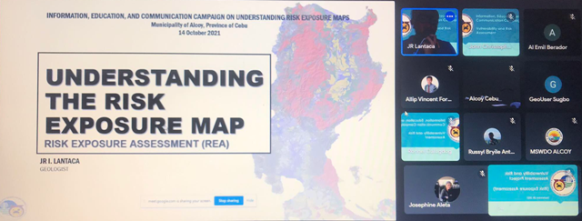
CEBU CITY, Cebu, Sept. 2 (PIA) -- With the mandate of mapping geologic hazards, a team from the Mines and Geo-sciences Bureau (MGB) Region 7 conducted a Vulnerability and Risk Assessment (VRA) and Updating of 1:10,000-scale Geohazard Map of the Jimalalud town in Negros Oriental from July to August 2022.
Part of the VRA preparation process is the updating of the Rain-induced Landslide and Flood Susceptibility Map for the town which included data gathering for the VRA along the 28 barangays of Jimalalud.
This aims to identify each of the barangay's population, roads, and infrastructures at risk to landslide and flood using the exposure maps as analytical lens given their geohazard (landslide and flood) susceptibility rating and socio-economic profile.
Aside from field observations, the team also gathered historical data from the barangay officials and locals following the assessment, the team provided the barangays with threat advisories stating the locations, geohazard susceptibilities, remarks, recommendations, and photo documentation of concerned areas.
A terminal report was also submitted to the Jimalalud municipal government.
The VRA is part of the regular targets and programs of MGB 7 Geohazard and Engineering Geology (GhEGS).
This initiative is useful for the Local Government Units (LGUs) concerned in formulating their Comprehensive Land Use Plans (CLUPs), Disaster Risk Reduction and Management (DRRM) and Contingency Plans of the LGUs to rain-induced landslides and floods; coastal flooding and erosion; and karst subsidence hazards.
The team of geologists was composed of Russyl Bryile Anthony Lanzaderas, senior geologist and team leader; JR Lantaca, geologist; and Jirah Kim Quinamot, geologist and science research specialist II / MGB-embedded personnel at City Environment & Natural Resources Office Ayungon.
Meanwhile, a Coastal Geohazard Mapping and Assessment (CGMA) was also undertaken in the municipalities of Oslob, Santander, and Samboan, Cebu in March 2022; the City of Toledo, Cebu in April to May 2022; and the municipalities of San Remigio, Medellin, and Daanbantayan, Cebu in June to July 2022.
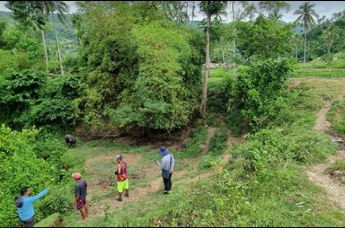
A detailed sub-surface assessment was also done in the Municipality of Alcoy, Cebu in April to May 2022.(HFG/PIA7 with reports from MGB7)