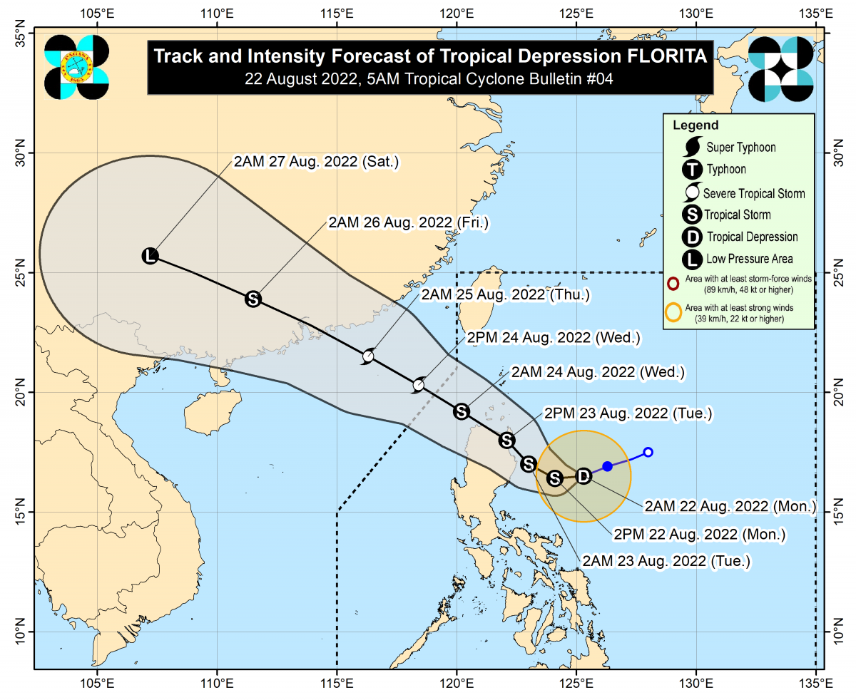
QUEZON CITY (PIA) -- Tropical Depression Florita has maintained its strength and is now moving in a west-southwestward direction over the Philippine Sea, east of Cagayan.
At 4 am today, the center of the tropical depression was estimated at 310 km East of Casiguran, Aurora (16.5 °N, 125.0°E).
Packed with a maximum sustained wind of 55 km/h near the center, with gustiness of up to 70 km/h, and central pressure of 1000 hPa. It is moving West Southwestward at 20 km/h.
At least 12 areas were placed under Tropical Cyclone Wind Signal (TCWS) No. 1, namely: Cagayan, Isabela, Quirino, Nueva Vizcaya, Apayao, Abra, Kalinga, Mountain Province, Ifugao, Ilocos Norte, Ilocos Sur, and the northern portion of Aurora (Dilasag, Casiguran, Dinalungan, Dipaculao) as thousands of students return to face to face classes set up today.
Florita is forecast to make landfall in the vicinity of east coast of Cagayan or northern Isabela tomorrow afternoon and may reach the tropical storm category today.
Some areas are expected to be placed under Tropical Cyclone Wind Signal No. 2 in the coming hours or days.
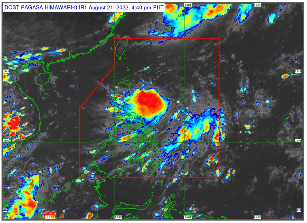
Tonight, light to moderate with at times heavy rains are possible over Cagayan, Isabela, Batanes and Aurora.
It is expected that until tomorrow evening, there will be heavy to intense with at times torrential rains over Cagayan, Isabela, Batanes, Cordillera Administrative Region, and Ilocos Region. While there will be moderate to heavy rains over the northern portion of Aurora, Zambales, Bataan, and the rest of Cagayan Valley. Light to moderate with at times heavy rains over the rest of Central Luzon.
In the next 24 hours, gusts reaching strong breeze to near gale strength may be
experienced (especially in the coastal and mountainous areas) over the Bicol Region,
Batangas, Mindoro Provinces, Marinduque, Romblon, Northern Samar, Antique and Aklan as Florita begins to enhanced the prevailing Southwest Monsoon (habagat).
Florita will bring moderate to rough seas (1.2 to 3.1 m) over the northern and eastern seaboard of Luzon. These conditions may be risky for those using small sea crafts.
Cagayan Valley Disaster Risk Reduction and Management Council (CVDRRMC) and the different concerned agencies have been on red alert since 6 pm of Sunday (Aug. 21).
Parents and school officials are reminded to be prepared with their umbrellas and rain gears to protect themselves and their children/students from the effects of TD Florita.
Persons living in areas identified to be highly or very highly susceptible to floods, landslides and surges are advised to follow evacuation and other instructions from local officials.
For heavy rainfall warnings, thunderstorm/rainfall advisories, and other severe weather information specific to your area, monitor products issued by your local PAGASA Regional Services Division. (PIA-NCR)