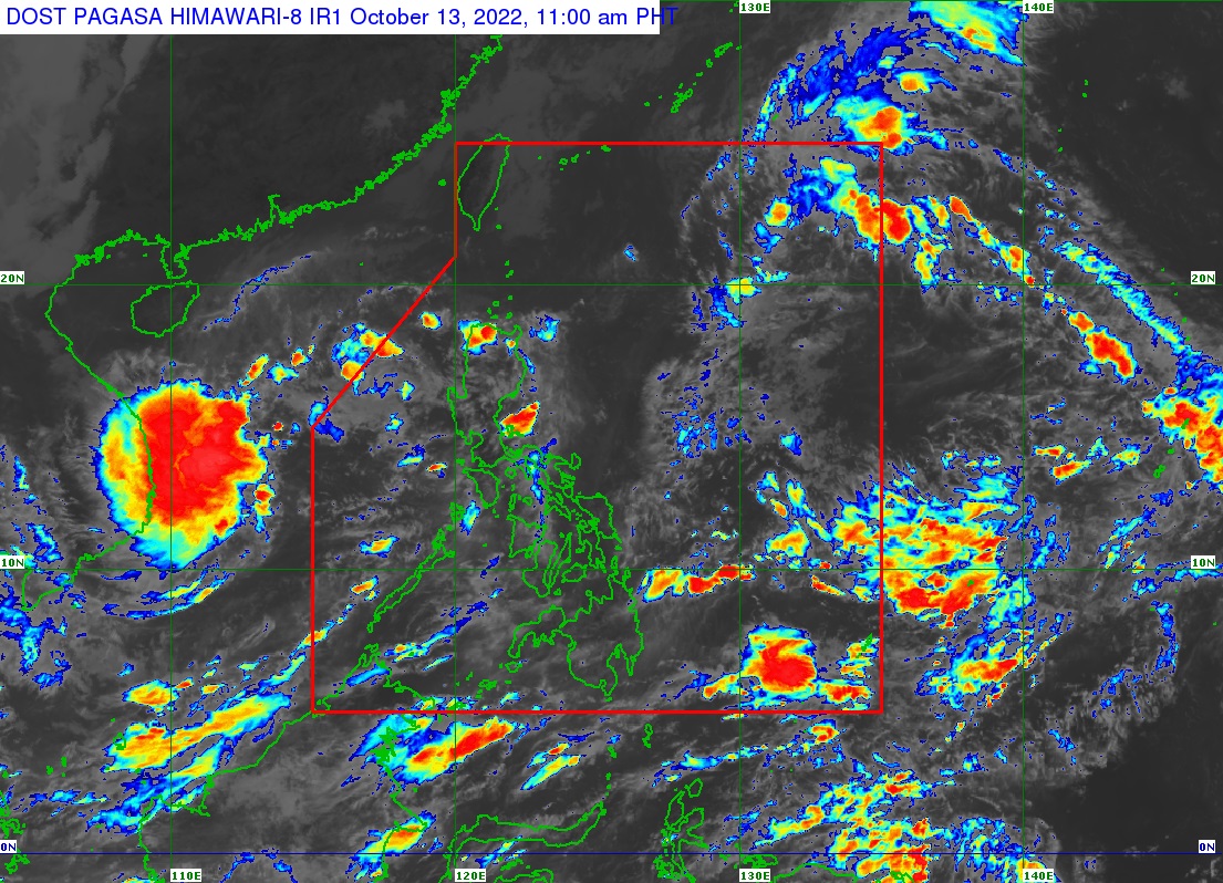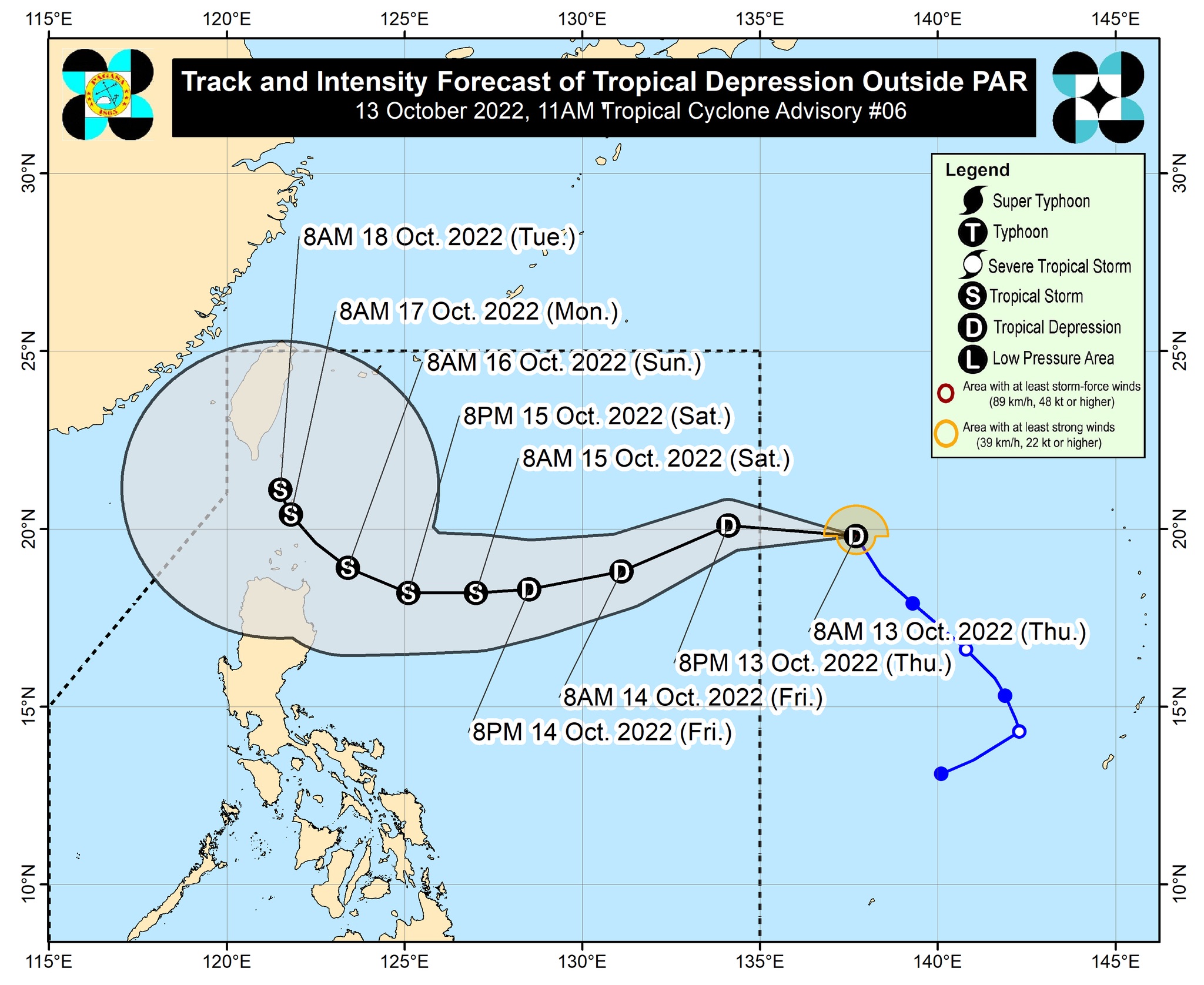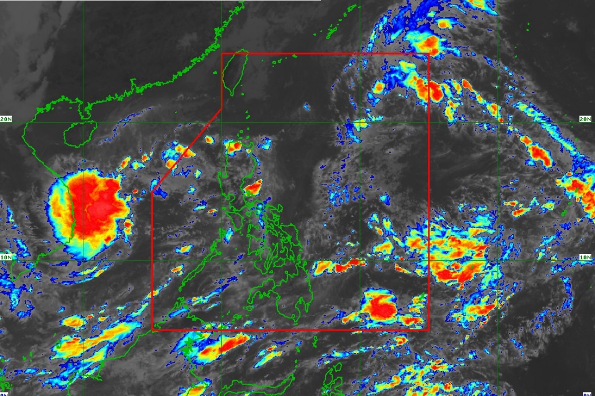
QUEZON CITY (PIA) -- The Philippine Atmospheric, Geophysical and Astronomical Services Administration (PAGASA) on its Tropical Cyclone Advisory No. 6 released at 11:00 am on Thursday, October 13, reported that the Tropical Depression monitored at 1,400 km East of Extreme Northern Luzon (20.3°N, 135.4°E) is forecast to enter the Philippine Area of Responsibility (PAR) this afternoon and will be given the domestic name “Neneng”.
Based on the forecast track, it is expected to move West-Southwestward to Westward beginning tomorrow through Saturday before turning West-Northwestward towards the Extreme Northern Luzon. It is also expected to reach a Tropical Storm category by Saturday and the possibility of further intensification prior to its close approach to Extreme Northern Luzon is not ruled out.
Meanwhile, there is a high likelihood that Tropical Cyclone Wind Signals will be hoisted over Batanes and several provinces in Northern Luzon.
The passage of this tropical cyclone over Extreme Northern Luzon may bring heavy rainfall over the area beginning Saturday. This may also bring rough to very rough seas over the northern and eastern seaboards of Luzon beginning late Friday or Saturday. Such conditions may be risky for those using small sea crafts.
Considering these developments, the public and disaster risk reduction and management offices concerned are advised to continue monitoring for updates related to this tropical cyclone. (KAA-PIA CPSD)