QUEZON CITY -- President Ferdinand R. Marcos Jr. said on Friday that the national government is always ready to help and is in constant communication and coordination with the local government units (LGUs) most especially in times of emergencies and natural disasters.
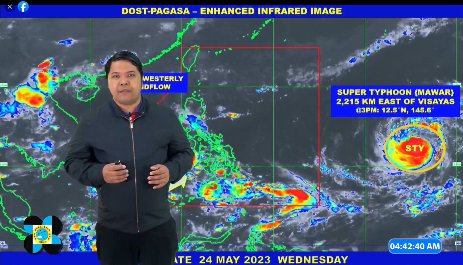
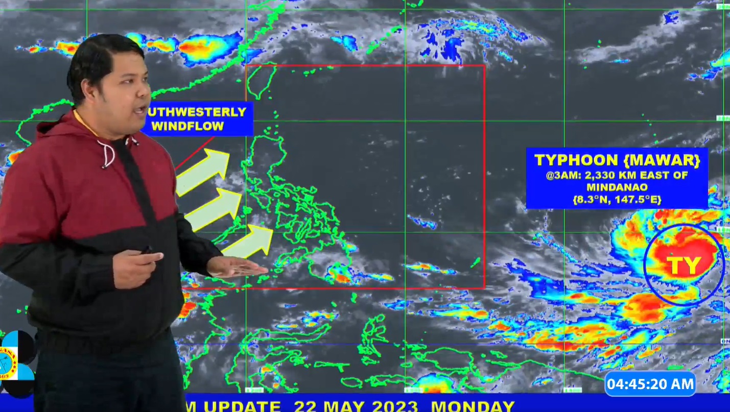
The chief executive made the remarks amid the approaching supertyphoon Mawar, which battered most of Guam recently.
“The national government is here to assist. We are in constant contact with the local governments para makita natin what is the situation in their place pagka nakadaan na ‘yung bagyo, pagka natapos na ‘yung mga ulan, mabawasan na ‘yung ulan,” the President said in a media interview following the 125th anniversary celebration of the Philippine Navy in Manila.
“Dito sa bagyong ito…although dadaan lang north of the Philippines, apparently hihilahin niya ‘yung habagat para --- and there is a chance na magkakaroon ng malakas na ulan pati hanggang --- hindi lang southern Luzon, Visayas, pati baka Mindanao. Kaya’t we have already warned the LGUs to prepare in case of heavy rains and flooding,” the President added.
Marcos said concerned national government agencies including the National Disaster Risk Reduction and Management Council (NDRRMC) earlier this week said they are expecting northern Luzon to bear the brunt of the typhoon.
“Nakapag-forward positioning kami ng mga relief goods doon sa areas na nakikita namin na aabutan ng bagyo, which is mostly northern Luzon,” Marcos said.
“We are in constant contact with them also to find out kung ano ‘yung kailangan nila, ano ‘yung nangyayari doon sa lugar nila and then, in that way, we will be able to respond properly. So, it's a little different from the usual situation kung saan lang dumadaan ‘yung bagyo, ‘yun lang ang inaalala natin, pero iba itong nangyari dito kasi malakas, typhoon eh. Humihila siya ng mga weather pattern, pumasok dito sa Pilipinas. So that’s what we are looking out for.”
Mawar has intensified over the Philippine Sea as it nears the Philippine Area of Responsibility (PAR), bringing strong to typhoon-force winds that extend up to 550 kilometers from the center.
In its weather advisory Friday, the Philippine Atmospheric, Geophysical and Astronomical Services Administration (PAGASA) said the eye of Mawar was last spotted at 1,740 km. east of southeastern Luzon at 3 a.m., still outside the PAR.
The typhoon packs maximum sustained winds of 215 kph near the center and gusts of 265 kph, moving west at 20 kph.
Typhoon Mawar, to be given the local name ‘Betty’ once it enters PAR, is expected late Friday or early Saturday, according to the weather bureau.
Although Mawar could slightly weaken by Saturday, it is still expected to remain a super typhoon until early Monday. It is forecast to reach its peak intensity within 24 to 36 hours. (PND)


