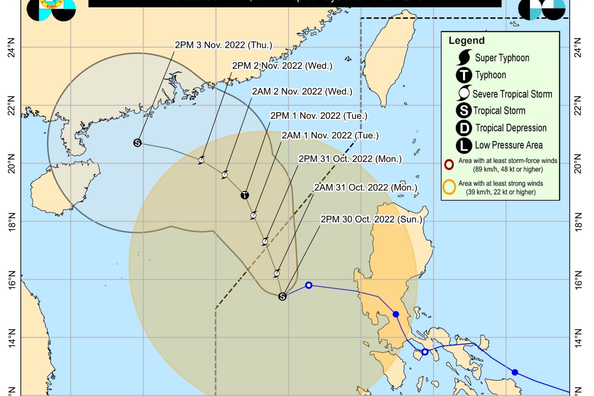
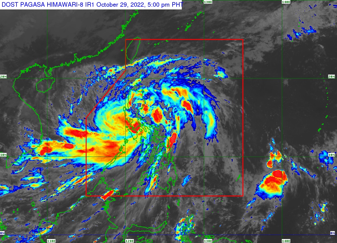
RIZAL (PIA) -- Tropical Storm 'Paeng' has maintained its strength while moving west southwestward, Philippine Atmospheric, Geophysical and Astronomical Services Administration (PAGASA) said on Sunday afternoon.
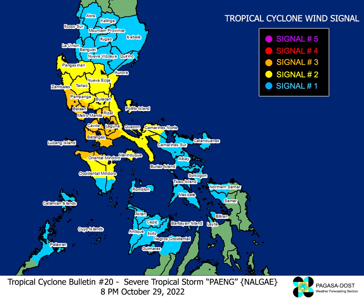
In its 5:00 p.m. weather bulletin, PAGASA raised Tropical Cyclone Wind Signal (TCWS) No. 1 over the following areas:
- Metro Manila
- Cagayan including Babuyan Islands
- Isabela
- Quirino
- Nueva Vizcaya
- Apayao
- Abra
- Kalinga
- Mountain Province
- Ifugao
- Benguet
- Ilocos Norte
- Ilocos Sur
- La Union
- Pangasinan
- Aurora
- Bulacan
- Nueva Ecija
- Tarlac
- Pampanga
- Bataan
- Zambales
- Western and central portions of Batangas (San Nicolas, Calaca, Cuenca, Lian, Tuy, Balayan, Talisay, Agoncillo, San Pascual, Santo Tomas, Bauan, San Jose, Calatagan, San Luis, Lemery, Lipa City, Ibaan, City of Tanauan, Mabini, Mataasnakahoy, Alitagtag, Balete, Tingloy, Nasugbu, Batangas City, Laurel, Santa Teresita, Taal, Malvar)
- Cavite
- Laguna
- Rizal
- Northwestern portion of Oriental Mindoro (San Teodoro, Puerto Galera, Baco)
- Northwestern portion of Occidental Mindoro (Abra de Ilog, Mamburao, Paluan, Santa Cruz) including Lubang Islands
- Northern portion of Quezon (General Nakar, Infanta)
At 4:00 p.m., 'Paeng' was located 295 km west of Iba, Zambales, with maximum sustained winds of 85 kph near the center and gustiness of up to 105 kph. At present, it is moving west southwestward at 20 kph. It has strong to gale-force winds that extend outwards up to 650 km from the center.
'Paeng' is expected to exit the Philippine Area of Responsibility (PAR) on Monday morning or afternoon, PAGASA said. (EEDC / PIA-CPSD)
